Field schools
Survey, mapping, documentation, observation, sampling, community engagement, and field reporting.
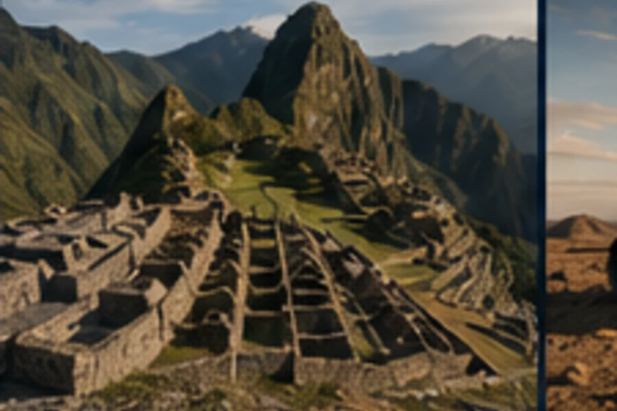
Applied learning
Field and laboratory learning connects disciplinary questions to sampling, observation, documentation, measurement, analysis, interpretation, quality control, reporting, and public communication.
Survey, mapping, documentation, observation, sampling, community engagement, and field reporting.
Instrumentation, sample preparation, capture workflows, quality assurance, analysis, and technical documentation.
Artifact digitization, archives, metadata, visualization, conservation documentation, and controlled access.
Research, engineering, computation, publishing, CRM, and partner-defined work with evaluated deliverables.
Programs

Field survey, GIS, context recording, photography, 3D capture, artifact documentation, and technical reporting.

Run planning, long-read sequencing, quality control, alignment, analysis, reproducibility, and technical reporting.
Intensive structured-light capture, model processing, measurement, texture, metadata, web presentation, and archival packaging.
Learning in context
Students work in environments where collection decisions, instrument settings, documentation, interpretation, and communication have practical consequences.
Register interestSelected courses
 ANTH-101
Introduces anthropology as a comparative study of human life across culture, biology, language, material evidence, technology, and history.
ANTH-210Develops field-based qualitative research through observation, interviewing, fieldnotes, reflexivity, ethics, coding, and interpretive writing.
ANTH-401Examines how artificial intelligence can support anthropological research while preserving context, evidence, authorship, ethics, and disciplinary judgment.
ARCH-220Introduces archaeological reasoning from research design and survey through excavation, classification, chronology, interpretation, and reporting.
ARCH-365Applies machine learning, computer vision, language models, and spatial computation to archaeological data with explicit validation and interpretive controls.
 GEO-210
Builds foundational spatial thinking and cartographic communication across human, environmental, archaeological, and technical questions.
GEOG-405Uses GIS, terrain models, point clouds, and LiDAR derivatives to investigate landscapes, built environments, archaeology, ecology, and infrastructure.
CRM-410Examines CRM project design, records research, field coordination, compliance documentation, laboratory integration, partner relationships, and final reporting.
Institutional & employer training
Programs can be organized around instruments, methods, reporting requirements, collections, landscapes, software, or project deliverables.